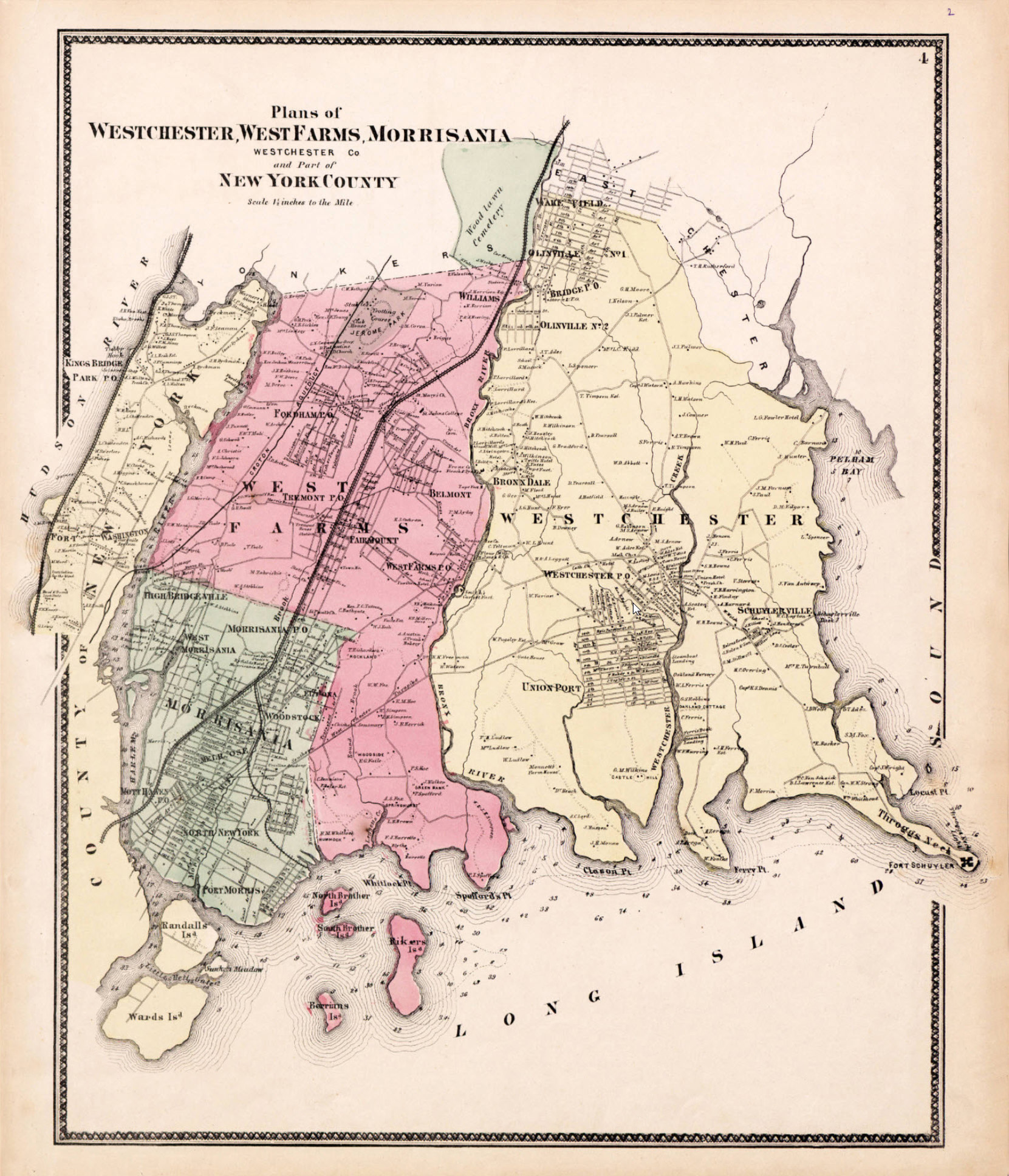
Bronx Map 1867

Source: Westchester County Archives. This map dates from when the
Bronx was still part of Westchester County, before it was incorporated into
New York City and before the Williamsbridge Reservoir was built at center
top below Wood Lawn Cemetery, where it says "Williams" at the upper right
corner of the pink part. Jerome Park to its left was not yet a reservoir
either; it was a race track. West Farms and Morrisania were villages of
Westchester County. Yonkers evidently extended much further south than
it does today.