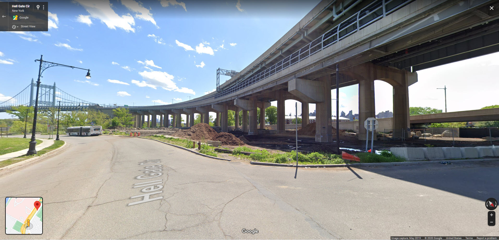
Google Maps street view, 30 November 2020

|
Triborough Bridge map;
Click to enlarge
|
Randall's Island, with the
Triborough
Bridge (now RFK) to Queens curving off the the left. The elevated
structure is still part of the Bridge and its name is shown as Triborough
Bridge or Robert F Kennedy Bridge on maps. The bridge goes from Queens over
Randall's Island, where it it forks, with one fork to 125th Street in
Manhattan and the other the South Bronx, as shown on the inset map,
and also in
this aerial photo.
highlighted in light magenta (click to enlarge). The small map doesn't
show the name, but if you
go
to Google and zoom in you can see it. The following photos show more
views of the this part of the bridge as seen from Randall's Island ground
level.
